


Vantage Vue Takes in the View at Death Valley
Where is the first place a bunch of outdoorsy weather buffs in California think to go in the middle of a wet winter? Camping in Death Valley, of course. And what do they take with them? A sleeping bag, a few bags of marshmallows, some beverages in a cooler, and a Vantage Vue.
 In January, a few Davis product engineers took our Davis Instruments Australia reseller on an adventure into the desert of Death Valley to test equipment, explore the local geology, enjoy the hydrothermal activity, watch low flying military aircraft buzz by, and position themselves perfectly for a stellar viewing of a rare cosmic event called a super blood wolf moon.
Death Valley is known for its scorching hot summer temperatures. It held the record for the highest air temperature in the United States of 134°F/56.7°C on July 10, 1913. (Until that record was beaten by 136°F/58°C in September 1922 posted in El Aziza in Libya, it was also the world record.) While both of these records have been questioned by the WMO, a temperature of 129°F/53.9°C was reliably recorded there in June 2013. It holds the record for the highest average monthly temperature, 108.1°F/42.3°C, set in July 2018. It also holds the highest recorded natural ground surface temperature on Earth at 201°F/93.9°C on July 15, 1972. But during the winter, daytime temps can linger in more comfortable temperature ranges perfect for hiking, exploring, and cozy sleeping with a good sleeping bag. Just 85 miles to the east is the Sierra Crest’s highest point, Mt. Whitney, which along with the Inyo Mountains, creates a beautiful, snow-covered, mountainous backdrop for the arid desert landscape.
 Entering from the northern edge of the park, the group bounced their way down the 40-mile (65-km), a four-wheel-drive-only road into Saline Valley. They navigated their way through the snow, sand dunes, abandoned mines, and endless washboard roads. The convoy of capable vehicles even had the opportunity to rescue another brave adventurer by pulling his two-wheel drive minivan out of an icy canyon. (The solo traveler was beyond happy to see our team drive up after spending 36 hours of solitude in frigid temperatures, and our explorers were happy to both lend a helping hand and use their toys to extract him from a pile of rocks and ice.)
Saline Valley’s elevation is about 1,000 feet (300 meters), which is higher than Death Valley’s Badwater Basin low point of 282 feet (86 m) below sea level, the lowest point in North America. The Saline Valley is, in fact, not a valley. It is an endorheic basin, which geologists properly refer to as a bolson (Endorheic means it has a closed hydrological cycle. Water flows in but never discharges to the sea.). If filled with water it would be over 4,000 feet (1,200 meters) deep, form a lake with a surface area of roughly 500 square miles (1,300 square kilometers), and hold approximately 500,000,000 acre-feet (620 cubic kilometers) of water. The “valley” has trilobite fossil beds in the north and is filled with Paleozoic marine sediment, among other geological formations, which makes it extra fun for a group of inquisitive rock hounds. It was not uncommon for the camp to be filled with piles of multi-colored rocks after a day of hiking.
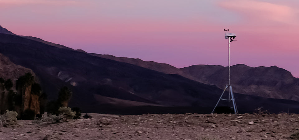
 But it was not all fun and no work for this team of weather tech innovators. The valley’s wide expanses offered long line-of-sight distances with little-to-no noise, so they were able to test peak radio transmission distances for current and future products. They also set up a mobile Vantage Vue to track the hyper-local weather conditions, watch real-time wind gusts from the console and to observe temperature changes during the lunar eclipse.
 Photo Credit: Brett Randall Jones
“The temps dipped into the low 30s at night,” reported Eric Persha, our Director of Product & Marketing, “but the idea-sharing and engaging conversation around the campfire kept us warm and inspired for another great year. Luckily for us, the average temperature during the day was 54℉/12°C, which was perfect for an enjoyable long weekend.”
If you decide to recreate this trip, our team would advise you to store food carefully.
“We also encountered some local characters: wild donkeys,” our Head of Engineering, Jeremiah Jeffress, told us. “We came back to camp one evening and found that they had enjoyed our marshmallows, along with the plastic bags they were in, all our apples and coffee, and even opened some cans. It looked like a few had tried to sit in our camp chairs while sipping a cold beverage they found by overturning the cooler.”
 If you are interested in creating your own Davis Instruments mobile weather unit to monitor conditions in whatever camp you set up, we’ve included our team’s gear list below.
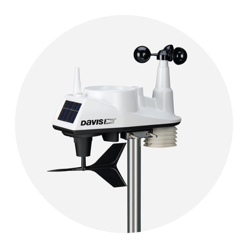
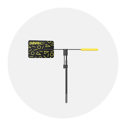
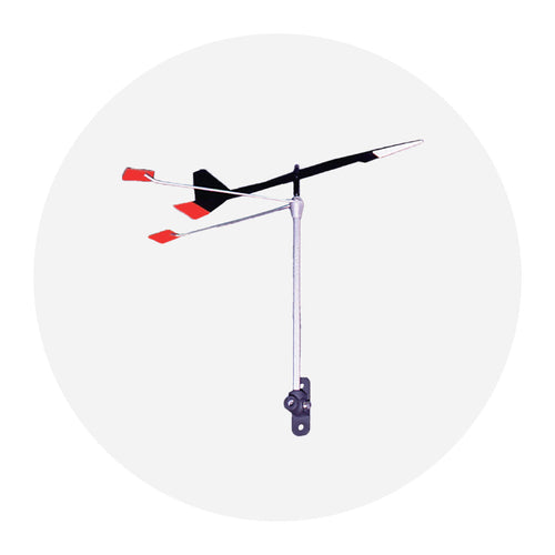
- Vantage Vue Weather Station (#6250)
- Two sets of console batteries
- A WeatherLink USB or Serial Data Logger (#6510USB or #6510SER)
- Mounting Tripod (#7716)
- Pelican Case for transport and storage
If you have any fun weather-related pictures or stories of your outdoor adventures, please share with us on Instagram and Facebook with #DavisOutdoors so we can repost and share.
![]()
In the face of escalating environmental risks, AEM is the essential source for insights on weather, climate, lightning, floods, wildfires, water management, and more.
Learn more about AEM and all of our solutions here.